Britain enjoys a settled weekend under high pressure, but sunshine isn't guaranteed for everyone. Temperatures will be coolest in the east and warmer further west.
High pressure will dominate Britain's weather this weekend, keeping many places dry, but sunshine amounts will vary across the country. Some regions, particularly in the south of England, will have a sunny and dry weekend, but others, particularly eastern Scotland, will not see much sunshine, and there will be some light rain in parts of eastern Scotland.
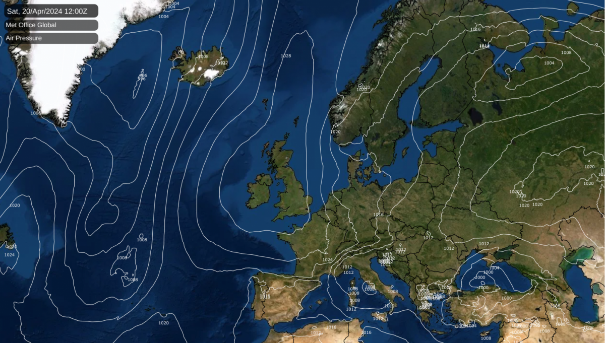
During the coming week, the weather will remain on the cool side over much of central and western Europe. This is in contrast to the first half of April, which saw two incursions of exceptional warmth into much of west and central Europe. Temperatures between 25 and 30C were widespread in France and Germany at times in the first half of April. Still, during the coming week, much of France can expect maximum temperatures between 10 and 15C; across much of Germany, most days will be no warmer than 10C.
Temperatures in Britain will be close to the long-term average for much of the week, but until mid-April, they were persistently above the long-term average, so it will feel rather cool for many. Between Wednesday and Friday, temperatures will drop below the seasonal norm in Britain as well, as the high-pressure area will move away to the west and northwest, allowing a chilly northerly flow to return, with a mix of sunshine and showers.
There are signs that in the long term, towards the end of April, we may see the return of a pattern that has recurred frequently since March 2023, with low pressure developing to the west and south-west of Britain and blocking anticyclones setting up to the north of Britain. This would promise warmer weather, frequent southerly winds, and plenty of rain, especially in the south. This is a long way off and subject to change. Still, it has been a frequently recurring pattern recently, and it may well be influenced by the persistent high sea surface temperature anomalies around the British Isles and out in the North Atlantic.
Most areas of the UK have got off to a dry, sunny start, but much of Scotland has started rather cloudy, and this cloudier weather will tend to extend southwards as the day goes on. South Wales and the southern half of England are expected to hold onto plenty of sunshine for most of the day. The winds will generally be light, but there will be a cold, northerly breeze near the east coast of England. It will generally be a dry day, but some light rain will spread into north-western Scotland in the afternoon and evening.
Temperatures will be a bit below average for the time of year in eastern Britain, reaching 8 to 10C in eastern Scotland and north-east England and 11-13C in eastern England. However, it will be warmer in western regions, particularly Northern Ireland, inland parts of Wales, and south-west England, where some places may reach 14 or 15C.
In England and Northern Ireland, skies will tend to be clear overnight, resulting in a cool night. There is potential for a slight frost in some places, particularly in northeast England and inland parts of Northern Ireland. It will be milder in most parts of Scotland and Wales, with more cloud and many places not falling lower than 5C.
Sunday will be a dry and sunny day in most parts of England, Wales, and Northern Ireland, but a band of clouds will spread through Scotland from west to east, with some light rain affecting mainly eastern parts of Scotland. This cloudier weather will extend into northern England during the afternoon and evening. Temperatures will mostly peak between 11 and 14C, but it will be cooler than that in eastern and southern parts of Scotland and the far north of England, where the band of cloud will persist for longest.
Although high pressure will still dominate Britain's weather on Monday, it will be cloudy for most, and a band of rain will spread southwards through the country. East Anglia and south-east England will probably remain dry, if rather cloudy. Much brighter weather is expected to spread into Scotland during the afternoon.
Between Tuesday and Friday, the weather looks set to be predominantly bright or sunny, with most of the country staying dry on Tuesday. However, as high pressure moves away to the west, we can expect cool temperatures and showers to increasingly establish mid- to late week. Most of the showers will be reserved for eastern coastal areas overnight but will develop widely inland during the daytime.