


Widespread fog formed last weekend and earlier in the week, as temperatures dropped to between 3C and 5C across England and Wales, causing moisture at ground level to condense into water droplets.
Thick fog blanketed parts of England and Wales last Saturday night, causing a 30-car pile-up on the M20 in Kent, leaving two people seriously injured, as well as a 19-car collision on the A303 in Hampshire
Fog formed again Sunday night and was particularly dense into Monday morning because there had been a lot of fireworks and bonfires over the weekend, with Bonfire Night celebrations also coinciding with Diwali on Sunday - which produced very dense fog in west London Sunday night - which I experienced first-hand. I have never seen fog this thick in my life.
The tiny smoke and metal particles from the fireworks act as extra cloud condensation nuclei which allows more water vapour being able to turn into droplets. The visibility at Heathrow Airport was below 10 metres for a few hours between 1pm Sunday night and the early hours of Monday. The M4 motorway near Heathrow was closed for a time due to collisions between vehicles in the thick fog.
Further fog warnings were issued for Monday evening into Tuesday across east and north-east Wales, parts of the Midlands, East Anglia and southern areas of Northern England.
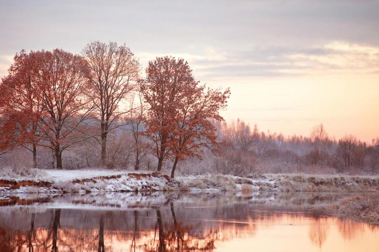
Following outbreaks of rain clearing the southern half of the UK on Wednesday, high pressure built in from the northwest, bringing clearer skies and cold northerly air from the arctic. This allowed a widespread frost to develop Thursday night across the UK, with the thermometer dipping below -6c across England, Wales and Scotland. Temperatures again fell below freezing quite widely Friday night across England and Wales, lowest temperatures this time across central, southern and eastern England - with lowest temperature of -7.2C at South Newington in Oxfordshire.
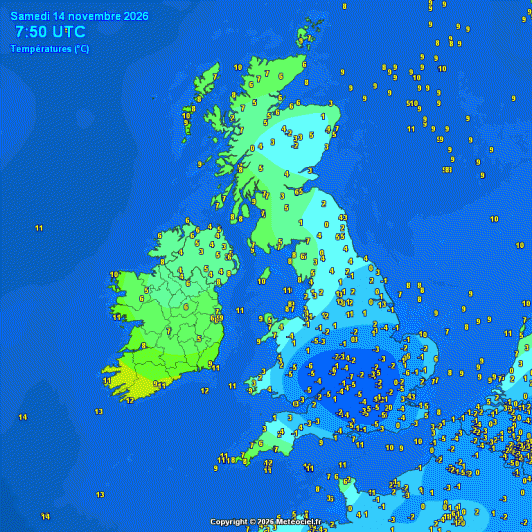
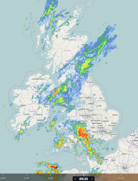
A frost is possible again across northern and western areas tonight, as skies clear behind rain clearing eastern areas.
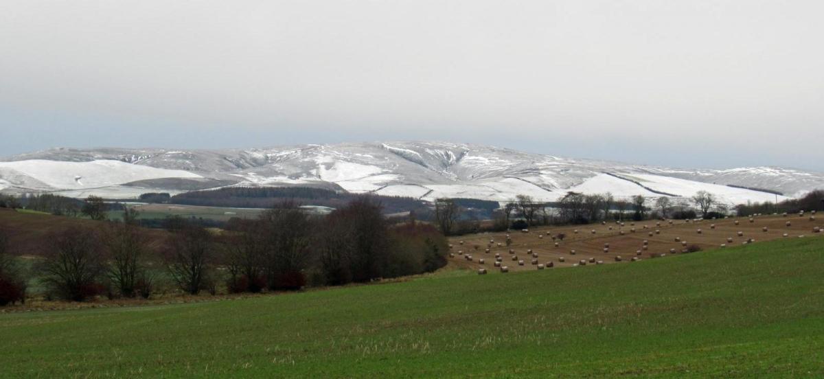
Widespread low-level snow is not expected over the weekend, though some snow is possible over northern Scottish hills from wintry showers in the cold northerly flow following later on Sunday and through Monday. Further south, persistent rain will affect southern Scotland and the far north of England on Sunday, while areas of heavy rain and showers will spread northeast elsewhere across England and Wales.
Then early next week we could see the risk of hill snow, albeit briefly, further south across Scotland, northern England and perhaps north Wales.
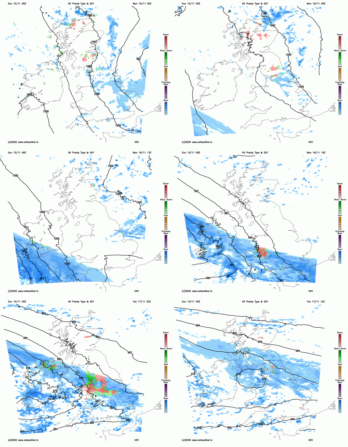
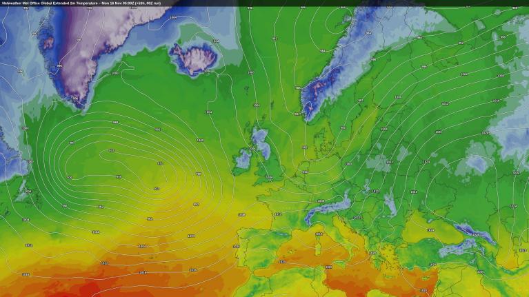
Monday will have a cold, crisp morning with plenty of sunshine across much of England, Wales, and Northern Ireland, though wintry showers linger in northern Scotland. Cloud thickens later as rain and stronger winds move into the southwest by evening. Then as the rain continues to push northeast ahead of an area of low pressure approaching from the west - it will bump into cold air across the north. So a brief spell of snow across northern areas on Tuesday, mainly over hills, before turning to rain, while milder air and outbreaks of rain push in further south.
Settling snow confined to high ground of Wales, N England and Scotland as rain moving in off the Atlantic bumps into cold air across the north on Tuesday
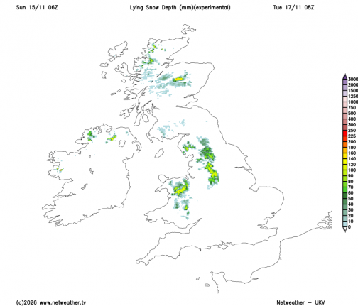
The story for the rest of the week is generally unsettled and breezy across England and Wales until Friday, as bands of rain and showers push east off the Atlantic. Strong coastal winds and hill snow are possible across North Wales and northern England. Once rain and hill snow clears Wednesday morning, turning colder, sunnier and drier across Scotland, with risk of frost overnight. All parts turning drier, sunnier and colder from the north on Friday, as a transitory ridge of high pressure builds in. Southern areas turn temporarily milder during the week - with highs around 11°C–13°C before turning colder on Friday.
Rainfall accumulations in the week ahead, wettest across Wales and SW England, driest in NW Scotland
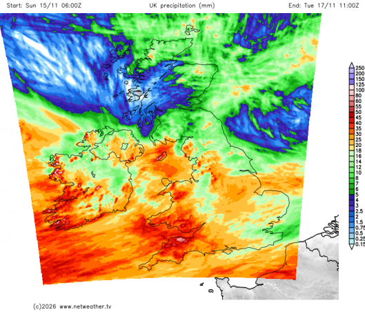
Widespread overnight frost under clear skies Friday night before further rain amd milder air approaches from the west during Saturday, perhaps preceded by snow over northern and western hills.
Loading recent activity...